Weather
click on any image or button to get more details on the respective websites
Current Conditions
Wind, Cloud Cover, pressure and temperature
Forecast animation for the current view for nine days can be seen by selecting the red arrow at bottom-left. Click on the icon in the upper-right corner for other views. Click on map to go to website for alternative weather models (ecmwf is shown).
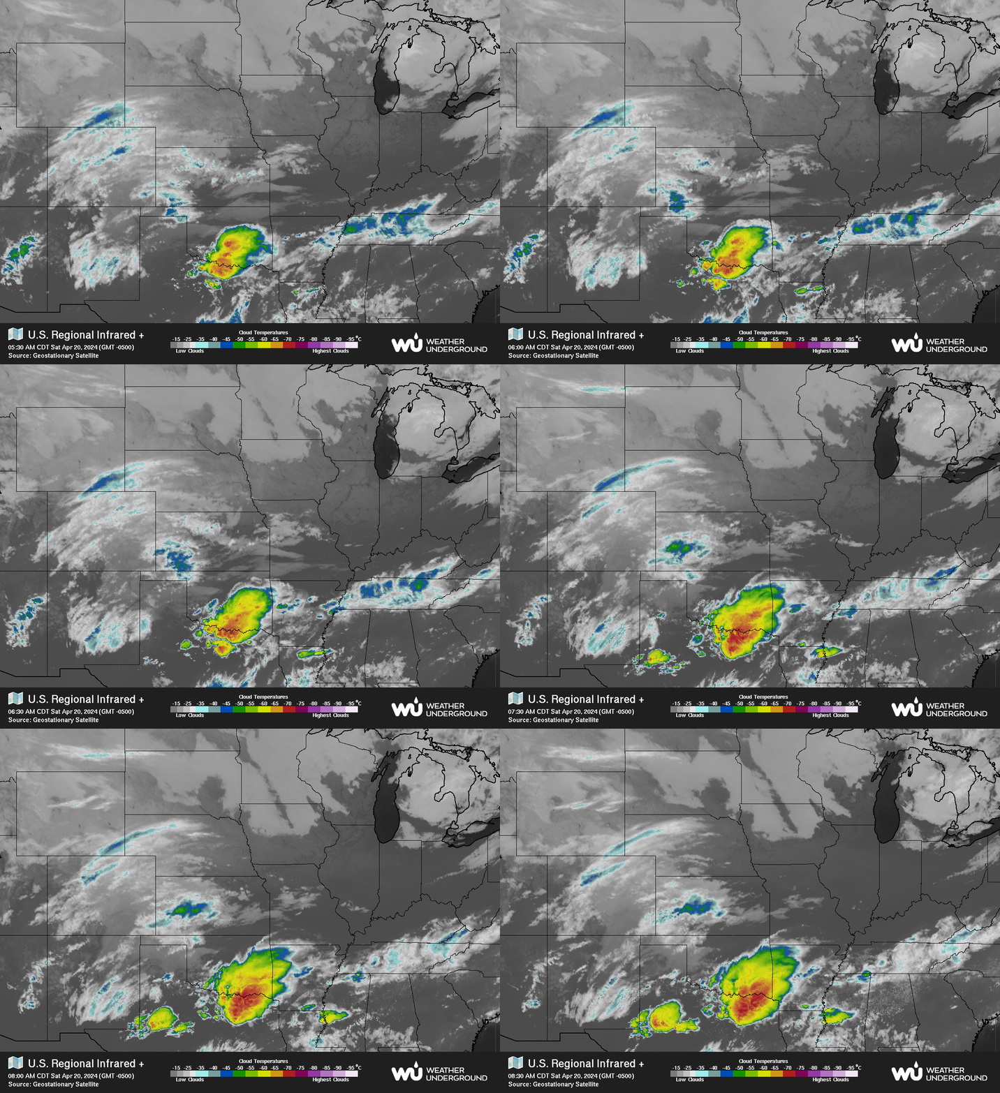
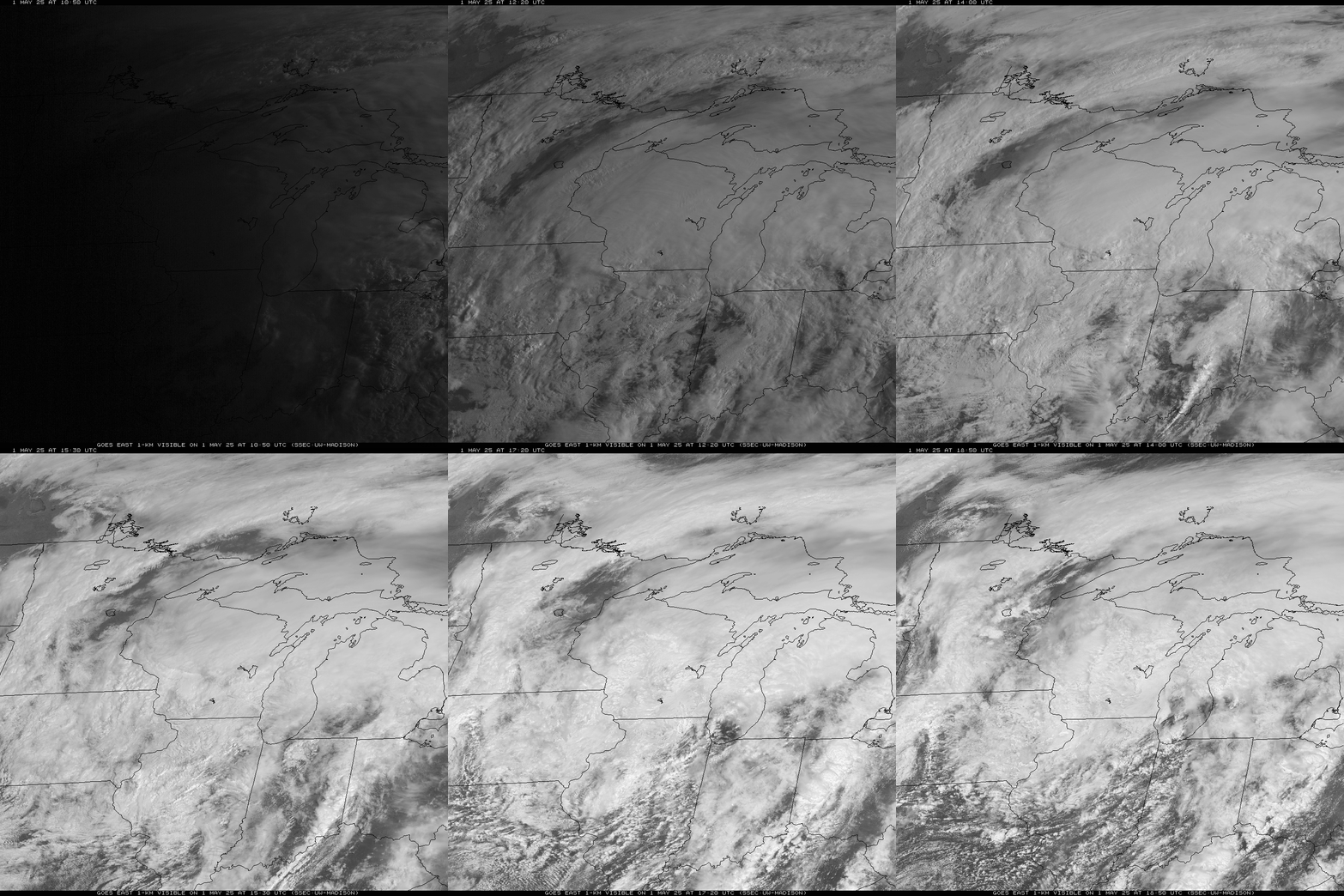
GOES-East Visible / IR Imagery – Upper Midwest
This satellite animation shows GOES-East visible imagery during the daytime and switches to IR imagery at night.
Additional Current Weather Resources
Forecast
Click Clear Sky Chats for larger versions and “how to read”
Clouds, Transparency, and Seeing
Click on specific times for forecast. Click on map to go to Astrospheric.com.
Wind, Cloud Cover, Pressure, and temperature
Forecast for nine days. Click on icon in upper-right corner for other views. Additional models (ecmwf is shown here) are available at the windy.com website — just click the image to go there.
SCROLL LOWER SECTION FOR FORECASTS
NOAA Forecast
Meteogram
Additional Weather Forecast Resources
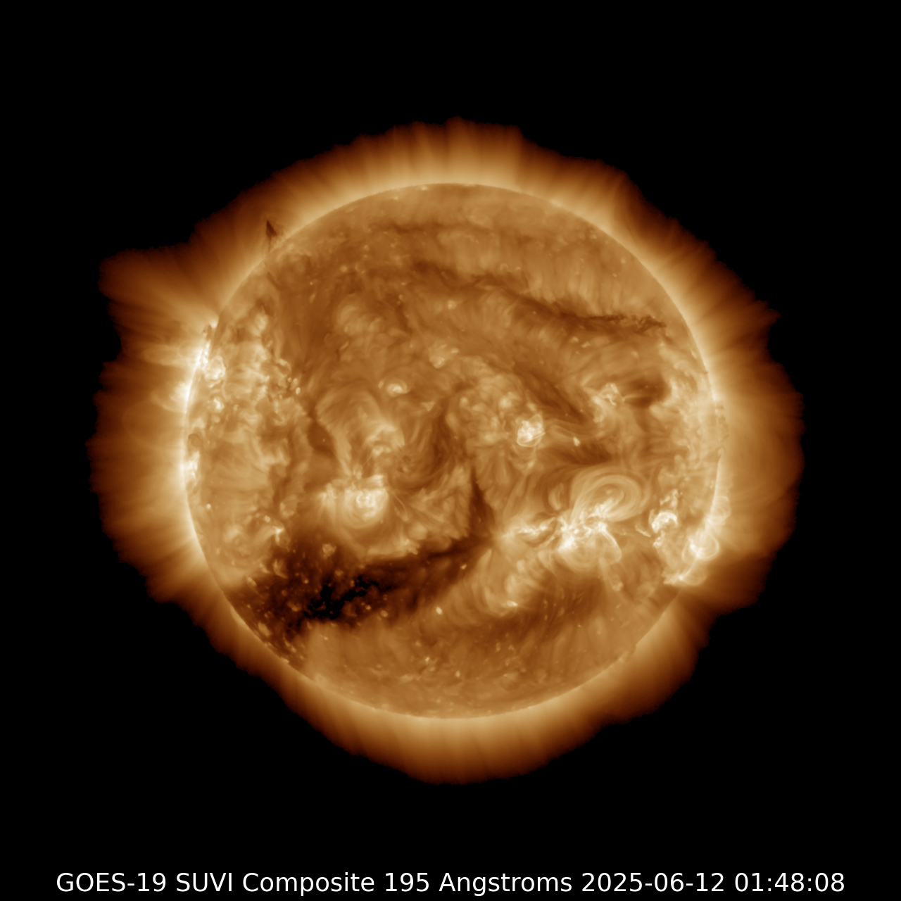
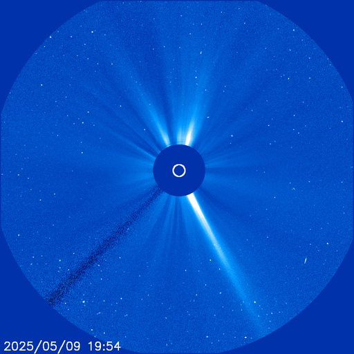
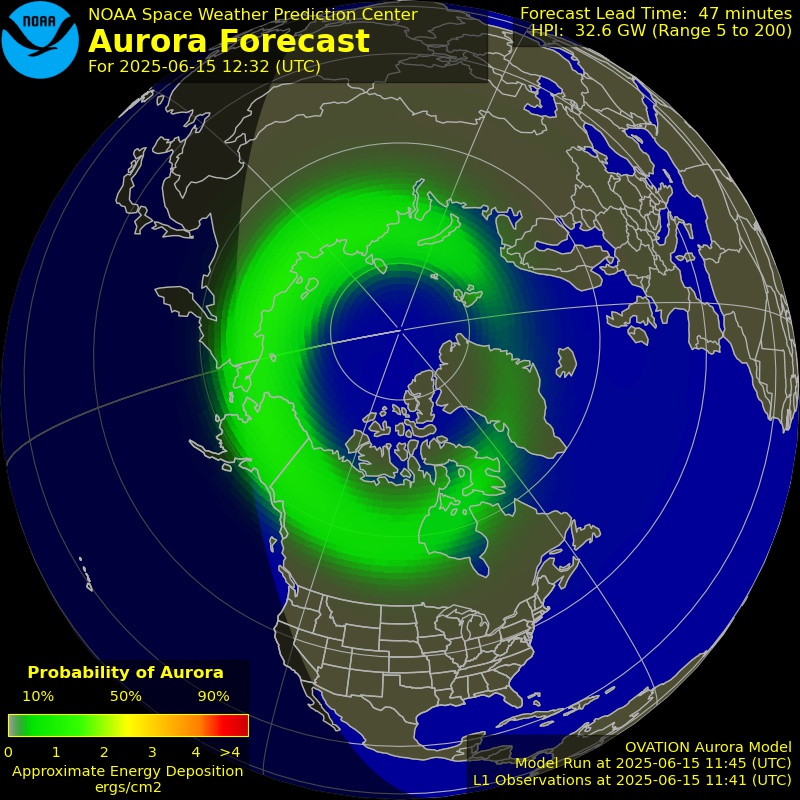
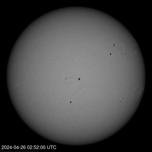
Space weather

